Black Hawk / Bullard's Peak
Deposit type & geology
Native silver-cobalt-nickel-uranium veins (no gold documented).
Carbonate-gangue fissure veins, Big Burro Mountains.
Age: Not established in sources reviewed.
Structural geology & terrain
Vein/structure orientation: —
Named controlling structure: —
Elevation range: 5,751 ft
Big Burro Mountains, Grant County.
High-resolution terrain
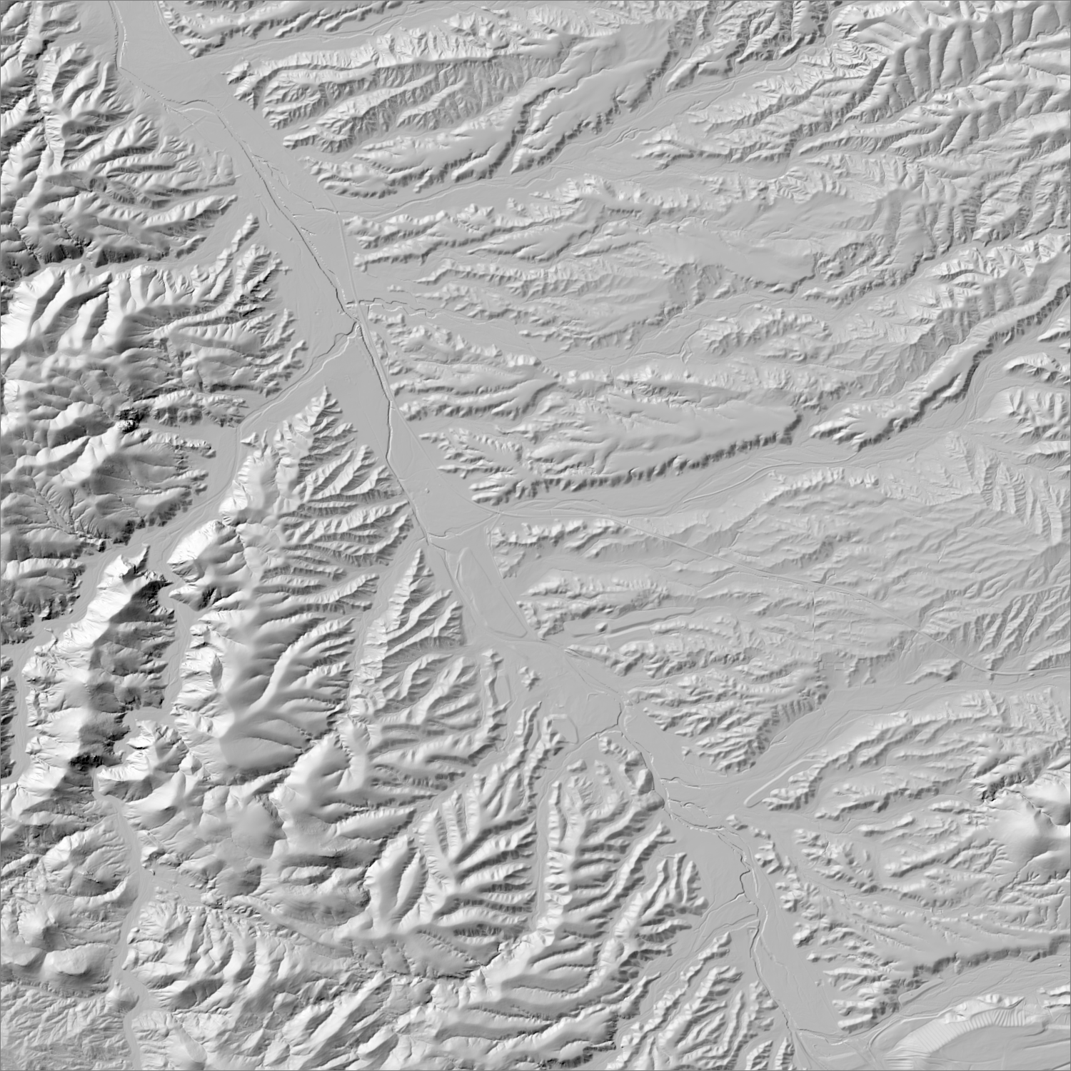
~6 m/pixel lidar-derived hillshade (USGS 3DEP) — fine enough to reveal old mine workings, waste-rock piles, trenches, and roads the statewide terrain layer can’t show.
Historical production
>$1,000,000 in high-grade silver ore shipped, 1881–93. No gold-specific production or reserve data found in any source — ruled out as a gold district.
Sources: USGS TEI-261 (cited); Santa Fe Gold Corp press materials (promotional, flagged); Wall Street Reporter (2018, unverified valuation claim) researched — see sources
Current status
Santa Fe Gold Corporation acquired Bullard's Peak Corp. and Black Hawk Consolidated Mines (~2018, 13 patented + 82 unpatented claims) and obtained a General Mining Permit; a company-commissioned study valued the silver assets at $839M (unverified, promotional). Current 2025–26 activity status not confirmed.
Dormant — no recent activity
Santa Fe Gold Corp's Bullard's Peak/Black Hawk claim acquisition and General Mining Permit — last confirmed activity; status since unverified. No gold commodity documented regardless.
Land ownership & directions
Land ownership for this district was not independently confirmed in this session's research — verify directly before relying on it.
Big Burro Mountains, Grant County. ~21 mi W of Silver City.
See specimen photos (mindat.org) → — this app doesn’t host specimen photos itself; this searches mindat.org’s own mineral-specimen database, which isn’t necessarily specific to this exact district.
This pin is a generalized district/historic-site reference point, not a surveyed claim boundary — routes may cross private or patented inholdings where public access isn’t guaranteed even if a road reaches the site. Backcountry mine areas commonly have unmarked shafts, unstable ground, and no cell service; confirm current access and safety conditions (land manager, county, or landowner) before heading out.
Geologist’s read
Another explicit negative result: a real, well-documented silver-cobalt-nickel-uranium district with no gold credit found anywhere in the record — despite “Santa Fe Gold Corporation” being the associated operator name.