Chloride / Apache / Black Range
Deposit type & geology
Low-sulfidation epithermal Ag-Au veins.
Tertiary andesite, with rhyolite and limestone breccia locally.
Age: Vein adularia dated ~26.5 Ma — contemporaneous with the Creede district, Colorado.
Structural geology & terrain
Vein/structure orientation: N-trending quartz-calcite veins; U.S. Treasury Mine NW/N50°W/65°SW, offset by N-trending faults
Named controlling structure: Large-displacement N-S block faults slicing the Black Range arch, not individually named
Elevation range: 6,181–7,061 ft; peaks 9,000–10,100 ft
Pinyon-juniper/oak below 7,000 ft, fir/aspen/ponderosa/spruce above.
High-resolution terrain
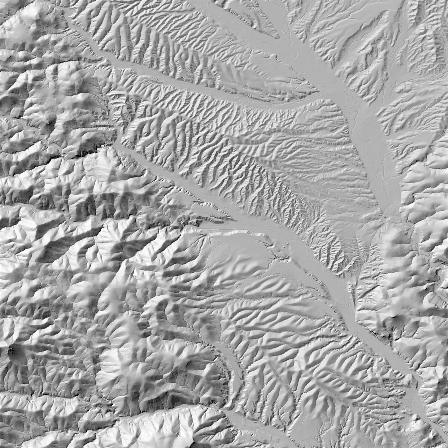
~6 m/pixel lidar-derived hillshade (USGS 3DEP) — fine enough to reveal old mine workings, waste-rock piles, trenches, and roads the statewide terrain layer can’t show.
Historical production
No standalone gold total found; strongly implied to be under 10,000 oz historically (Hillsboro was “the only district in Sierra County yielding more than 10,000 oz of gold” per Western Mining History). Silver-dominant: district contributed to a Sierra Co.-wide ~6.3M oz Ag, 1879–1931. Recent company sampling (2025–26) has returned notably high grades: up to 67 g/t Au in grab samples, 46 g/t Au / 1,030 g/t Ag in channel samples.
Sources: Mindat; Rio Grande Resources project pages/press releases (promotional, flagged); Western Mining History (Sierra County gold production) researched — see sources
Current status
Active exploration. Rio Grande Resources Ltd. holds a ~3,000-acre, 149-claim “Winston Gold-Silver Project” covering the historic Ivanhoe, Emporia, and Little Granite claims; conducting structural mapping and surface sampling in 2025–26, advancing toward a Phase 1 drill program.
Active within ~12 months
Rio Grande Resources completed a second-phase field sampling and mapping program, advancing toward a Phase 1 drill program on the Winston project.
Land ownership & directions
The district spans more than one ownership type (e.g., patented claims inside BLM or National Forest land) — check the specific parcel, not just the district, before assuming access.
BLM and private land, eastern Black Range. Near Chloride, NM, Sierra County, unpaved mountain roads.
See specimen photos (mindat.org) → — this app doesn’t host specimen photos itself; this searches mindat.org’s own mineral-specimen database, which isn’t necessarily specific to this exact district.
This pin is a generalized district/historic-site reference point, not a surveyed claim boundary — routes may cross private or patented inholdings where public access isn’t guaranteed even if a road reaches the site. Backcountry mine areas commonly have unmarked shafts, unstable ground, and no cell service; confirm current access and safety conditions (land manager, county, or landowner) before heading out.
Tailings reprocessing potential
Historic processing method and mill scale not established in the sources reviewed this session.
This is a documentary heuristic, not assay data.The tier above is inferred from historic production era, processing method, and ore character already cited elsewhere on this page — nobody has sampled or assayed this district’s tailings as part of this research. Actual recoverable gold content can only be established by physical sampling.
Reprocessing tailings is regulated mining. Disturbing or reprocessing historic mill waste requires the same NM Mining Act permitting as new mining (see the regulatory companion guide), regardless of who currently holds the claim or surface rights — and ownership of the tailings material itself is a separate legal question from mineral rights on the underlying land.
Legacy tailings can be hazardous. Pre-modern processing commonly used mercury (amalgamation) or cyanide (heap leach), and can carry elevated arsenic and other heavy metals — not a casual sampling target, and disturbing contaminated material can carry real environmental liability.
Geologist’s read
Historically a minor gold co-product of a silver district — but the most recent surface sampling (tens of g/t gold in grab samples) is a meaningfully different signal than the historic record, which is exactly the kind of gap between “historic district reputation” and “current exploration data” worth tracking closely rather than dismissing on 19th-century numbers alone.