Cochiti (Bland)
Deposit type & geology
Low-sulfidation epithermal gold-silver quartz veins.
Keres Group volcanics (Paliza Canyon Formation, Canovas Canyon and Bearhead Rhyolites) intruded by the Bland monzonite stock; capped by, but not hosted in, the much younger Bandelier Tuff.
Age: Mineralization roughly 8–5.5 Ma (late Miocene–early Pliocene), along the Cánada de Cochiti fault zone bounding the Rio Grande rift's Española Basin.
Structural geology & terrain
Vein/structure orientation: N-S trending veins generally, flexing NE at the Albemarle mine and NW at Crown Point; steep dips 65°W–80°E
Named controlling structure: No single named through-going fault — numerous N-S faults/fractures/breccia zones tied to Rio Grande rift extension
Elevation range: 6,890–8,232 ft (two sources conflict: 8,232 vs. 7,982 ft)
Very rugged canyon terrain (Bland Canyon, Colle Canyon) cut into the Jemez volcanic plateau.
High-resolution terrain
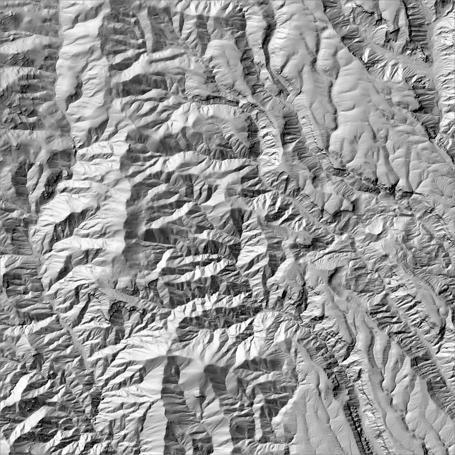
~6 m/pixel lidar-derived hillshade (USGS 3DEP) — fine enough to reveal old mine workings, waste-rock piles, trenches, and roads the statewide terrain layer can’t show.
Historical production
No verified troy-ounce total exists in the literature reviewed — only dollar-value figures: district production to 1915 was $1,168,772 (Bundy 1958, NMBGMR Bulletin 59), with a longer-window estimate near $1.4 million through 1963. The Albemarle mine alone produced $667,500 in precious metals 1896–1905 (USGS MRDS) from ore grading roughly 7.5 g/t Au and 137 g/t Ag; the oz figure shown on this map is a rough order-of-magnitude estimate, not a sourced total.
Sources: NMBGMR Bulletin 59 (Bundy 1958); NMGS Guidebook 35 (Wronkiewicz et al. 1984); USGS MRDS; EMNRD Abandoned Mine Land Program; NM Wildlife Federation reporting on the 2019 Cochiti Pueblo road dispute (secondary, advocacy journalism, flagged) researched — see sources
Current status
Past producer only, inactive since the early-to-mid 20th century (last MRDS-recorded production 1948). EMNRD ran an Abandoned Mine Land safeguarding project here in 1999 (backfilling six adits and three shafts, bat gates, $114,119 cost). No current mining operator or exploration permit identified.
Dormant — no recent activity
No confirmed active gold exploration or mining permits identified. EMNRD completed an Abandoned Mine Land safeguarding project in 1999. Since at least 2019, Cochiti Pueblo has disputed control of the access roads (Forest Roads 268 and 89) leading into the district amid an unresolved easement/right-of-way dispute — treat physical access as uncertain, not just the mining status.
Land ownership & directions
The district spans more than one ownership type (e.g., patented claims inside BLM or National Forest land) — check the specific parcel, not just the district, before assuming access.
Mixed: Santa Fe National Forest (Jemez Ranger District) with private patented mining claims and the privately-owned Bland townsite; immediately adjacent to land where Cochiti Pueblo has disputed public/county road access since 2019. Historic town of Bland, Bland Canyon, roughly 10–12 miles from Cochiti Lake via Forest Roads 268/89 — access is currently disputed; treat as closed/uncertain, not a confirmed public route.
See specimen photos (mindat.org) → — this app doesn’t host specimen photos itself; this searches mindat.org’s own mineral-specimen database, which isn’t necessarily specific to this exact district.
This pin is a generalized district/historic-site reference point, not a surveyed claim boundary — routes may cross private or patented inholdings where public access isn’t guaranteed even if a road reaches the site. Backcountry mine areas commonly have unmarked shafts, unstable ground, and no cell service; confirm current access and safety conditions (land manager, county, or landowner) before heading out.
Tailings reprocessing potential
Older (1893–1948) vein-gold processing era; specific mill/recovery method not detailed in sources reviewed. Any interest here is secondary to the unresolved access dispute noted above.
This is a documentary heuristic, not assay data.The tier above is inferred from historic production era, processing method, and ore character already cited elsewhere on this page — nobody has sampled or assayed this district’s tailings as part of this research. Actual recoverable gold content can only be established by physical sampling.
Reprocessing tailings is regulated mining. Disturbing or reprocessing historic mill waste requires the same NM Mining Act permitting as new mining (see the regulatory companion guide), regardless of who currently holds the claim or surface rights — and ownership of the tailings material itself is a separate legal question from mineral rights on the underlying land.
Legacy tailings can be hazardous. Pre-modern processing commonly used mercury (amalgamation) or cyanide (heap leach), and can carry elevated arsenic and other heavy metals — not a casual sampling target, and disturbing contaminated material can carry real environmental liability.
Geologist’s read
Geologically a straightforward, well-documented low-sulfidation epithermal system — the same broad deposit family as Mogollon and Steeple Rock, just erupted from the Jemez volcanic field rather than the Mogollon-Datil field. The real complexity here isn't the geology, it's access: this is the one district on this map where land status should be read as unresolved rather than simply “mixed” — an active, apparently unresolved road-access dispute involving Cochiti Pueblo sits directly on the only routes into the historic workings, on top of the usual patented-claim/private-property caveats. Treat any directions here as informational only, and respect tribal sovereignty and any posted closures.