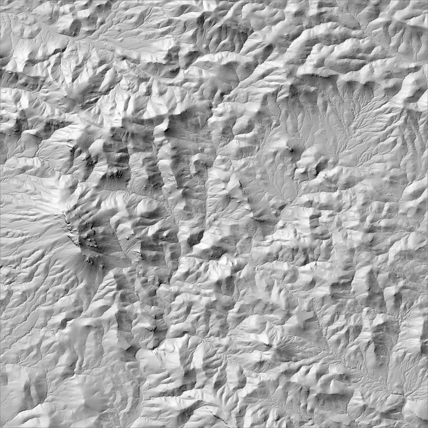
Named controlling structure: East Camp Fault (controls the Summit Mine); Carlisle Fault (controls the Carlisle Mine)
Elevation range: ~5,200–6,200 ft
Summit Mountains desert washes; notably hard to find and access.
High-resolution terrain
~6 m/pixel lidar-derived hillshade (USGS 3DEP) — fine enough to reveal old mine workings, waste-rock piles, trenches, and roads the statewide terrain layer can’t show.
Historical production
151,000 oz Au + 3.4M oz Ag, 1880–1993 (McLemore/NMBGMR, ~$10M cumulative value). A separate company figure (TMRC) cites 148,000 oz Au + 3.3M oz Ag, 1880–1986 — broadly consistent.
Multiple concurrent restart/exploration efforts. Golconda Gold Ltd. (Summit Gold Corp) targeting a Q2 2026 restart of the Summit Mine + Banner Mill (permits GR011ME, HI001RE), on care-and-maintenance since Nov. 2013. Texas Mineral Resources Corp acquired the historic Carlisle Mine (Dec. 2024) and signed a non-binding LOI for a 4-mine JV (Billali, Jim Crow, Imperial, Carlisle). Kennecott Exploration (Rio Tinto) has also held an exploration permit (GR082EM) in the district.
Active within ~12 months
EMNRD information-update filing on permit GR011ME proposing a higher reclamation bond ahead of a targeted Q2 2026 restart.
Land ownership & directions
Mixed ownership
The district spans more than one ownership type (e.g., patented claims inside BLM or National Forest land) — check the specific parcel, not just the district, before assuming access.
Mix of patented claims and BLM/Gila National Forest land, straddling the NM–AZ line. ~15 mi NE of Duncan, AZ; ~3 mi inside Grant Co., NM; graded/unpaved roads.
See specimen photos (mindat.org) → — this app doesn’t host specimen photos itself; this searches mindat.org’s own mineral-specimen database, which isn’t necessarily specific to this exact district.
This pin is a generalized district/historic-site reference point, not a surveyed claim boundary — routes may cross private or patented inholdings where public access isn’t guaranteed even if a road reaches the site. Backcountry mine areas commonly have unmarked shafts, unstable ground, and no cell service; confirm current access and safety conditions (land manager, county, or landowner) before heading out.
Tailings reprocessing potential
Higher tailings potential
Long, intermittent operation (1880–1993) through multiple base-metal-focused milling eras, including the Banner Mill; polymetallic veins where gold was frequently a secondary recovery target, not the mill's primary focus.
This is a documentary heuristic, not assay data.The tier above is inferred from historic production era, processing method, and ore character already cited elsewhere on this page — nobody has sampled or assayed this district’s tailings as part of this research. Actual recoverable gold content can only be established by physical sampling.
Reprocessing tailings is regulated mining. Disturbing or reprocessing historic mill waste requires the same NM Mining Act permitting as new mining (see the regulatory companion guide), regardless of who currently holds the claim or surface rights — and ownership of the tailings material itself is a separate legal question from mineral rights on the underlying land.
Legacy tailings can be hazardous. Pre-modern processing commonly used mercury (amalgamation) or cyanide (heap leach), and can carry elevated arsenic and other heavy metals — not a casual sampling target, and disturbing contaminated material can carry real environmental liability.
Geologist’s read
Five distinct vein types in one district is unusual and reflects a long-lived, multi-stage hydrothermal system (neutral-pH through acid-sulfate alteration) rather than a single mineralizing pulse — a genuine reason multiple companies are re-examining different parts of the same structural corridor rather than competing for the same ore shoot.
Period newspaper mentions from the Library of Congress’s Chronicling America archive — supplementary color on a district’s activity over time, not a research signal or evidence of gold potential. Matched by place name, not manually verified per item.
“…y morning a son was born to Mr and Mrs W 13 Conner Two sons added to a family withiu a week Isa record to brag of Alex Medbnry of Steeple Rock for merly Carlisle was in the city Mon day returning from a trip to Silver City formerly San Vicente George Gamble an engineer on…”
“…ldings of the Steeple was also rumored that Rate Clerk R j JOSEPH M Rock Development compauy at F Seggerson of the atate corpora1 Steeple Rock The holdings comprise tion commission was the bet man at lire group of patented mines con the wedding stating of 33 claim and a m…”
Modern exploration & drilling
Current NI 43-101/S-K 1300 disclosure from active operators — a different thing from the historical production above (ounces already mined). These are estimates of gold/silver still in the ground and the specific drill intercepts behind them, not resource reserves ready for production.
Summit Gold-Silver Project (Golconda Gold Ltd.) — resource category not confirmed, 789,000 t at 7.10 g/t AuEq (573 g/t AgEq), containing ~99,000 oz Au, ~6.5M oz Ag (as a blended AuEq/AgEq figure), per NI 43-101.
Resource category (measured/indicated/inferred) and effective date could not be confirmed against the underlying technical report this session — only the operator's website summary was retrieved. The Summit mine is currently non-operating; per Golconda's FY2024 MD&A, the company is seeking financing to restart operations.