Sylvanite (Gold Hill Mine)
Deposit type & geology
Vein in felsite dike, carbonate-hosted.
East-west felsite/aplite dike intruding Cretaceous limestone, shale, and quartzite.
Age: Late Cretaceous to Pliocene intrusive complex (per MRDS; dating imprecise).
Structural geology & terrain
Vein/structure orientation: No strike/dip found in sources reviewed
Named controlling structure: Monzonite stock/dike contacts; lamprophyre dike intersection at the Copper Dick Mine — contact-controlled, not a named fault
Elevation range: 4,850–6,611 ft
Desert basin-and-range, remote, historically water-scarce.
High-resolution terrain
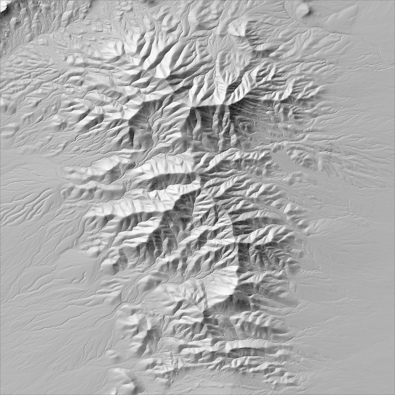
~6 m/pixel lidar-derived hillshade (USGS 3DEP) — fine enough to reveal old mine workings, waste-rock piles, trenches, and roads the statewide terrain layer can’t show.
Historical production
~300 oz Au, 135 oz Ag, 3,800 lb Cu total through 1936 (Lasky 1947) — a small, low-tonnage producer, operated intermittently 1908–41.
Sources: Western Mining History (Gold Hill Mine); Lasky 1947 (cited) researched — see sources
Current status
Inactive, on private property, no known plans to reopen.
Dormant — no recent activity
No activity identified since the mine's last operating period; described as closed with no known plans to reopen.
Land ownership & directions
Privately held — a mix of patented mining claims, ranch land, and corporate holdings. Mineral and surface rights may be held separately (split estate); accessing or exploring here requires the owner's permission or a lease/purchase agreement, not a BLM claim filing.
Private. Near Playas, NM, Basin and Range terrain.
See specimen photos (mindat.org) → — this app doesn’t host specimen photos itself; this searches mindat.org’s own mineral-specimen database, which isn’t necessarily specific to this exact district.
This pin is a generalized district/historic-site reference point, not a surveyed claim boundary — routes may cross private or patented inholdings where public access isn’t guaranteed even if a road reaches the site. Backcountry mine areas commonly have unmarked shafts, unstable ground, and no cell service; confirm current access and safety conditions (land manager, county, or landowner) before heading out.
Tailings reprocessing potential
Tiny total production (~300 oz) implies correspondingly little tailings volume.
This is a documentary heuristic, not assay data.The tier above is inferred from historic production era, processing method, and ore character already cited elsewhere on this page — nobody has sampled or assayed this district’s tailings as part of this research. Actual recoverable gold content can only be established by physical sampling.
Reprocessing tailings is regulated mining. Disturbing or reprocessing historic mill waste requires the same NM Mining Act permitting as new mining (see the regulatory companion guide), regardless of who currently holds the claim or surface rights — and ownership of the tailings material itself is a separate legal question from mineral rights on the underlying land.
Legacy tailings can be hazardous. Pre-modern processing commonly used mercury (amalgamation) or cyanide (heap leach), and can carry elevated arsenic and other heavy metals — not a casual sampling target, and disturbing contaminated material can carry real environmental liability.
Geologist’s read
Included for completeness and contrast — a genuine but minor producer, useful as a lower bound on what “documented gold occurrence” can mean in New Mexico's mine record versus a district-scale producer.