Willow Creek / Pecos
Deposit type & geology
Proterozoic volcanogenic massive sulfide (Pb-Zn-Cu) with byproduct Au-Ag.
Proterozoic metavolcanic/metavolcaniclastic sequence, Pecos greenstone belt, bounded by the Pecos-Picuris fault.
Age: ~1,710–1,720 Ma (model lead ages, Pecos and Jones mines).
Structural geology & terrain
Vein/structure orientation: Not vein-hosted — VMS mineralization in an isoclinal "Mine syncline," NE strike, steep NW dip in upper levels transitioning to vertical then SE dip at depth
Named controlling structure: The Mine syncline itself is the named control; no major fault mapped in the ore zone
Elevation range: 7,913 ft
High Sangre de Cristo country, rugged and forested, within the Pecos Wilderness; historically poor accessibility limited mining mainly to placers.
High-resolution terrain
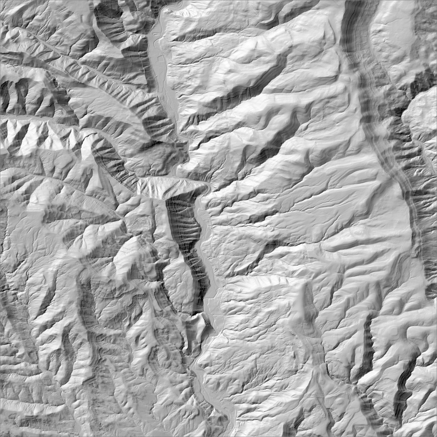
~6 m/pixel lidar-derived hillshade (USGS 3DEP) — fine enough to reveal old mine workings, waste-rock piles, trenches, and roads the statewide terrain layer can’t show.
Historical production
179,000 oz Au (byproduct) per NMBGMR's statewide top-10 gold district table. The Pecos mine itself was NM's largest lead-zinc producer 1927–39 (~$40M cumulative value) — gold was always secondary here.
Sources: NMGS Guidebook 30 (Robertson & Moench 1979); NMBGMR Resource Map 24 researched — see sources
Current status
Inactive. No current mining or exploration activity identified.
Dormant — no recent activity
No current claims or exploration activity identified.
Land ownership & directions
The district spans more than one ownership type (e.g., patented claims inside BLM or National Forest land) — check the specific parcel, not just the district, before assuming access.
Santa Fe National Forest / private, near Terrero, NM. Pecos River headwaters, NE of Santa Fe via NM-63.
See specimen photos (mindat.org) → — this app doesn’t host specimen photos itself; this searches mindat.org’s own mineral-specimen database, which isn’t necessarily specific to this exact district.
This pin is a generalized district/historic-site reference point, not a surveyed claim boundary — routes may cross private or patented inholdings where public access isn’t guaranteed even if a road reaches the site. Backcountry mine areas commonly have unmarked shafts, unstable ground, and no cell service; confirm current access and safety conditions (land manager, county, or landowner) before heading out.
Tailings reprocessing potential
Lead-zinc-focused flotation milling (1927–1939) with gold only a byproduct credit, never a recovery target.
This is a documentary heuristic, not assay data.The tier above is inferred from historic production era, processing method, and ore character already cited elsewhere on this page — nobody has sampled or assayed this district’s tailings as part of this research. Actual recoverable gold content can only be established by physical sampling.
Reprocessing tailings is regulated mining. Disturbing or reprocessing historic mill waste requires the same NM Mining Act permitting as new mining (see the regulatory companion guide), regardless of who currently holds the claim or surface rights — and ownership of the tailings material itself is a separate legal question from mineral rights on the underlying land.
Legacy tailings can be hazardous. Pre-modern processing commonly used mercury (amalgamation) or cyanide (heap leach), and can carry elevated arsenic and other heavy metals — not a casual sampling target, and disturbing contaminated material can carry real environmental liability.
Geologist’s read
NM's best-documented, confidently-dated Precambrian mineralized terrane — explicitly analogous to an Archean greenstone belt — but it's a base-metal VMS system, not an orogenic gold belt. Its presence on NM's top-10 gold list is entirely a byproduct-credit story, not evidence of a Precambrian gold province.